What it helps solve
- Find visible stress patterns sooner
- Locate possible drainage trouble spots
- Compare growth across the property
- Direct crews toward priority areas
- Reduce unnecessary ground scouting
- Track changes between site visits
- Maintain visual records
- Visualize Terrain attributes
How it works
Share your site and intended use. We confirm scope and price, collect imagery, and prepare your selected products for delivery.
Who uses this
Landowners reviewing vegetation and visible land conditions.
Products for this service
High-resolution color aerial map
One detailed overhead view of the whole captured site.
Available Export Options: JPEG + KML overlay (.jpg / .kml) — Shareable image with a Google Earth overlay.High-Resolution GeoTIFF (.tif / .tiff) — Located map imagery for ArcGIS or QGIS.PDF Site Map (.pdf) — Easy-to-open document for sharing and printing.Aerial photo set
Selected original photographs for closer visual review.
Available Export Options: JPEG (.jpg / .jpeg) — Standard photos for reports, presentations, and sharing.RGB vegetation comparison
Visible-light color differences help direct ground checks; not NDVI or a diagnosis.
Available Export Options: JPEG + KML overlay (.jpg / .kml) — Shareable image with a Google Earth overlay.High-Resolution GeoTIFF (.tif / .tiff) — Located map imagery for ArcGIS or QGIS.PDF Site Map (.pdf) — Easy-to-open document for sharing and printing.Plant Health SHP (.shp) — Vegetation zones for GIS and farm planning.Technical scope and subscription eligibility require confirmation before quoting.
Land observation report
Provision-prepared imagery and notes identifying areas for ground review.
Available Export Options: PDF report (.pdf) — Easy-to-open document for sharing and printing.Surface elevation map
Colors show relative heights of visible surfaces, including trees and buildings.
Available Export Options: JPEG + KML overlay (.jpg / .kml) — Shareable image with a Google Earth overlay.High-Resolution GeoTIFF (.tif / .tiff) — Located map imagery for ArcGIS or QGIS.PDF Site Map (.pdf) — Easy-to-open document for sharing and printing.Contour map
Lines connect equal modeled heights to communicate surface changes.
Available Export Options: DXF Contours (.dxf) — Contour lines for CAD and construction software.SHP Contours (.shp) — Contour lines for GIS and terrain planning.Technical scope and subscription eligibility require confirmation before quoting.

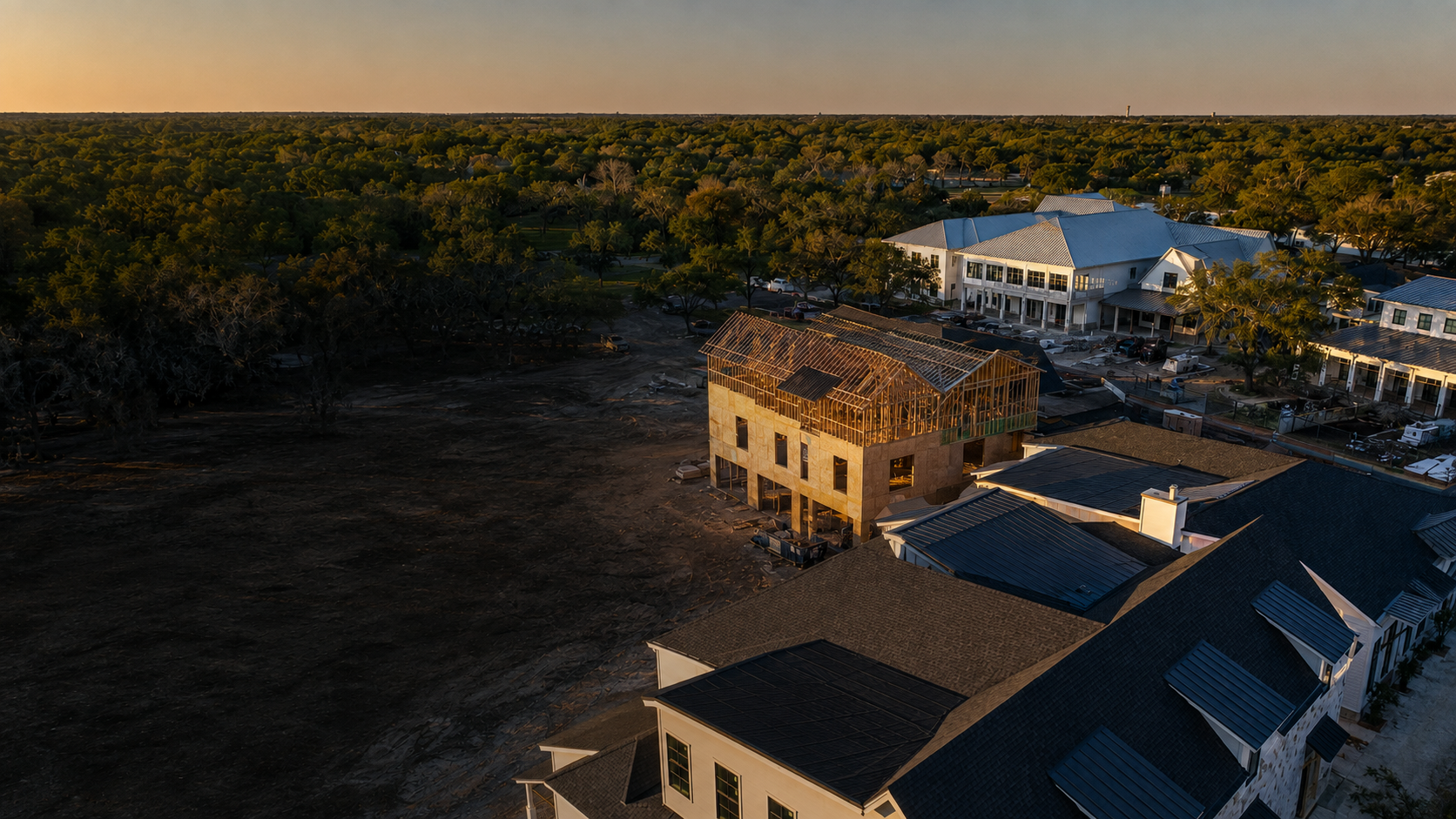 Illustrative imagery