
← Back to services
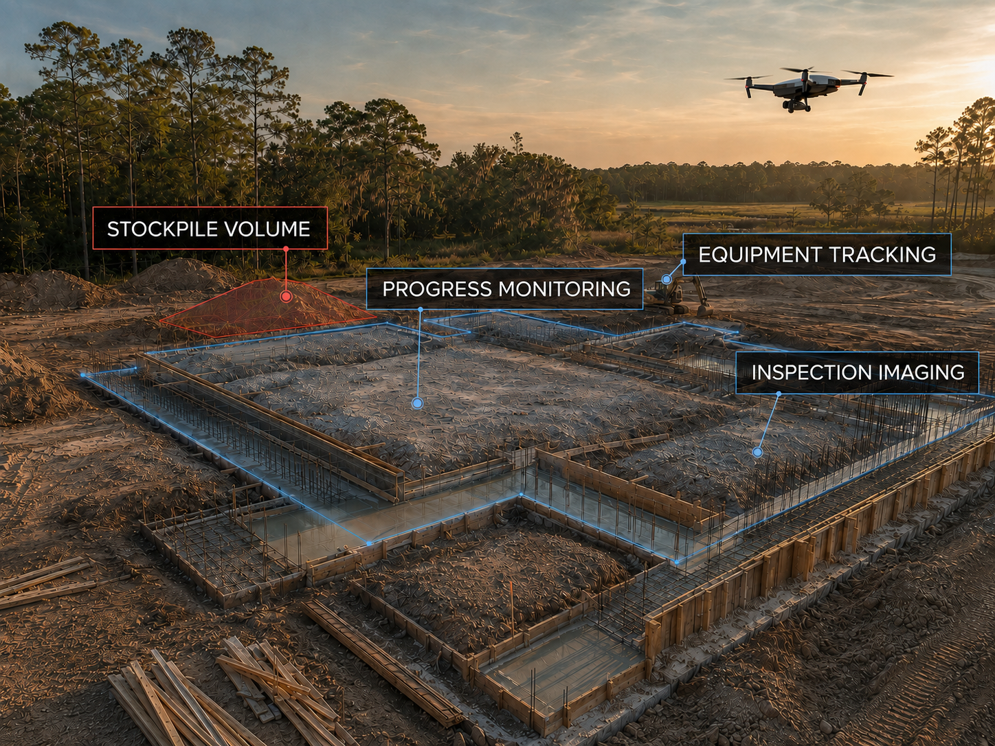
Illustrative aerial site imageryIllustrative imagery

Provision Aerolytics

Roof & Property Documentation

Document visible roof and property conditions with organized aerial imagery for maintenance discussions.

Starting at $249Build your estimate

What it helps solve

  • Detailed high-resolution roof imagery
  • Safer review of difficult areas
  • Multiple overhead views of visible roof areas
  • Documentation of visible roof conditions
  • Clear imagery for professional review
  • Better maintenance and repair planning
  • Organized records for future reference

How it works

Share your site and intended use. We confirm scope and price, collect imagery, and prepare your selected products for delivery.

Who uses this

Property owners and maintenance teams.

Products for this service

Visible roof photo set

Selected images of roof areas actually captured from above.

Available Export Options: JPEG (.jpg / .jpeg)Standard photos for reports, presentations, and sharing.

Annotated roof documentation

Provision-prepared observations and image references, not a certified inspection.

Available Export Options: PDF report (.pdf)Easy-to-open document for sharing and printing.

High-resolution color aerial map

One detailed overhead view of the whole captured site.

Available Export Options: JPEG + KML overlay (.jpg / .kml)Shareable image with a Google Earth overlay.High-Resolution GeoTIFF (.tif / .tiff)Located map imagery for ArcGIS or QGIS.PDF Site Map (.pdf)Easy-to-open document for sharing and printing.

Delivered files. Optional online access.

Supported exports of all products in your approved service scope are included. There are no product-count or file-format overage charges. Additional analysis outside that scope is quoted separately.

Optional DroneDeploy access

Viewing access: $99. Editable access with supported exports: $1,499 annually for one client seat and 12 months of access. Viewing is an add-on to delivered files. The annual editable workspace is a separate self-service delivery option. Viewing duration and account permissions are confirmed in your quote; annual renewal requires a separate agreement.

RTK improves positioning consistency, not image resolution. Surface models are not automatically bare-earth terrain or certified survey measurements. RGB comparisons are not NDVI or a diagnosis. Volumes require an identified reference surface; design cut/fill requires additional inputs and custom review.